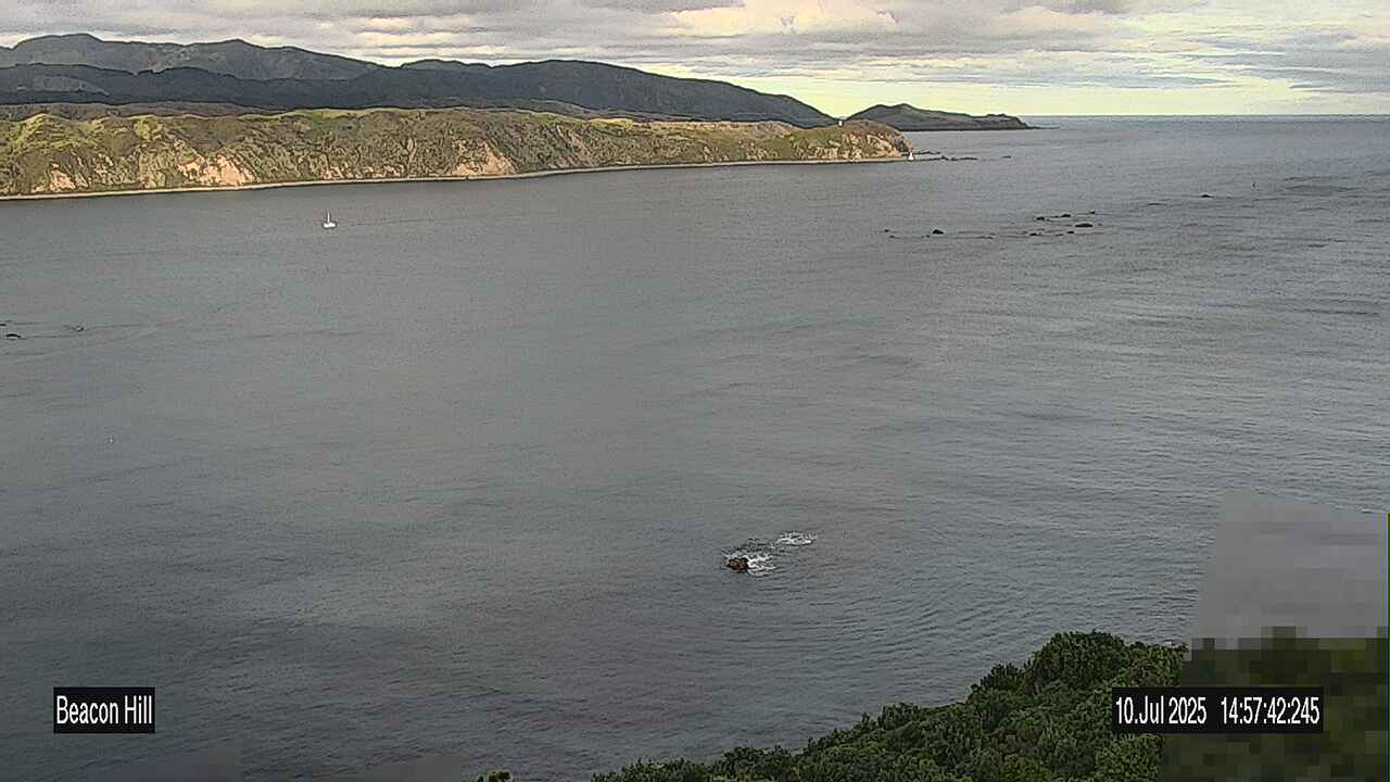
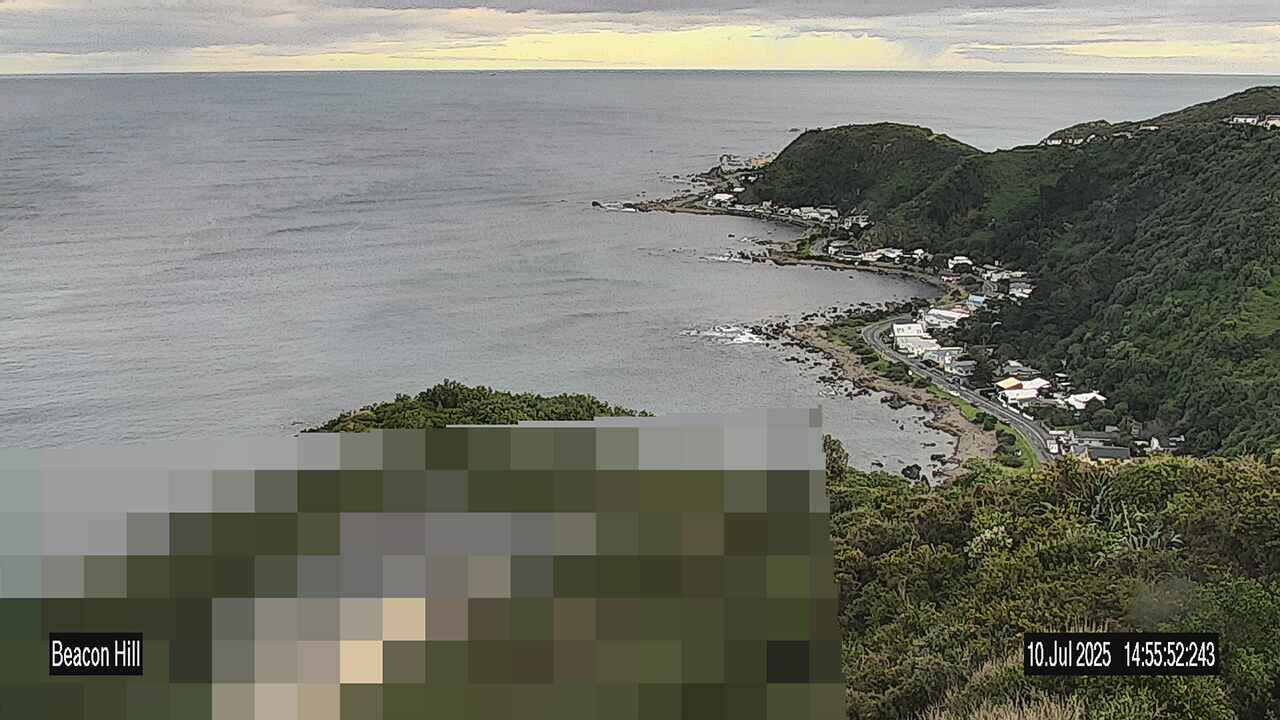
The busy entrance to Te Whanganui-a-tara Wellington harbour is monitored from Beacon Hill Signal Station. This is staffed by a roster of six people, 24 hours a day, 365 days a year.
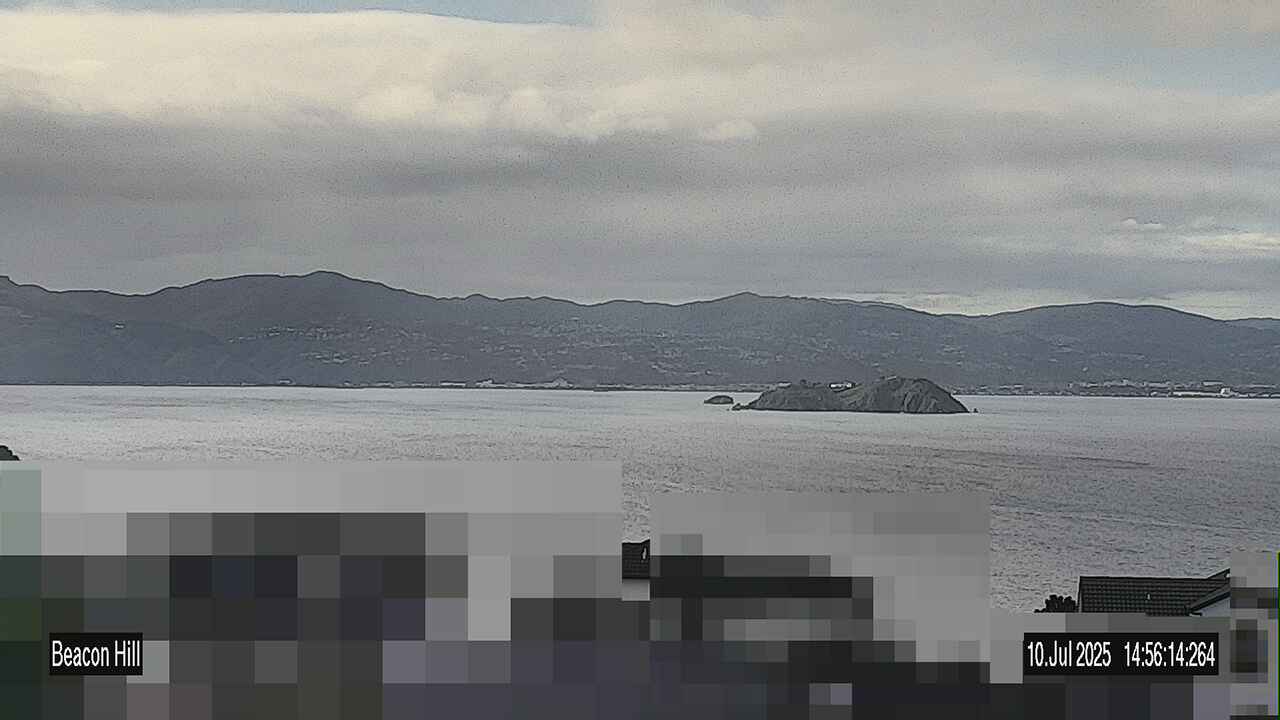
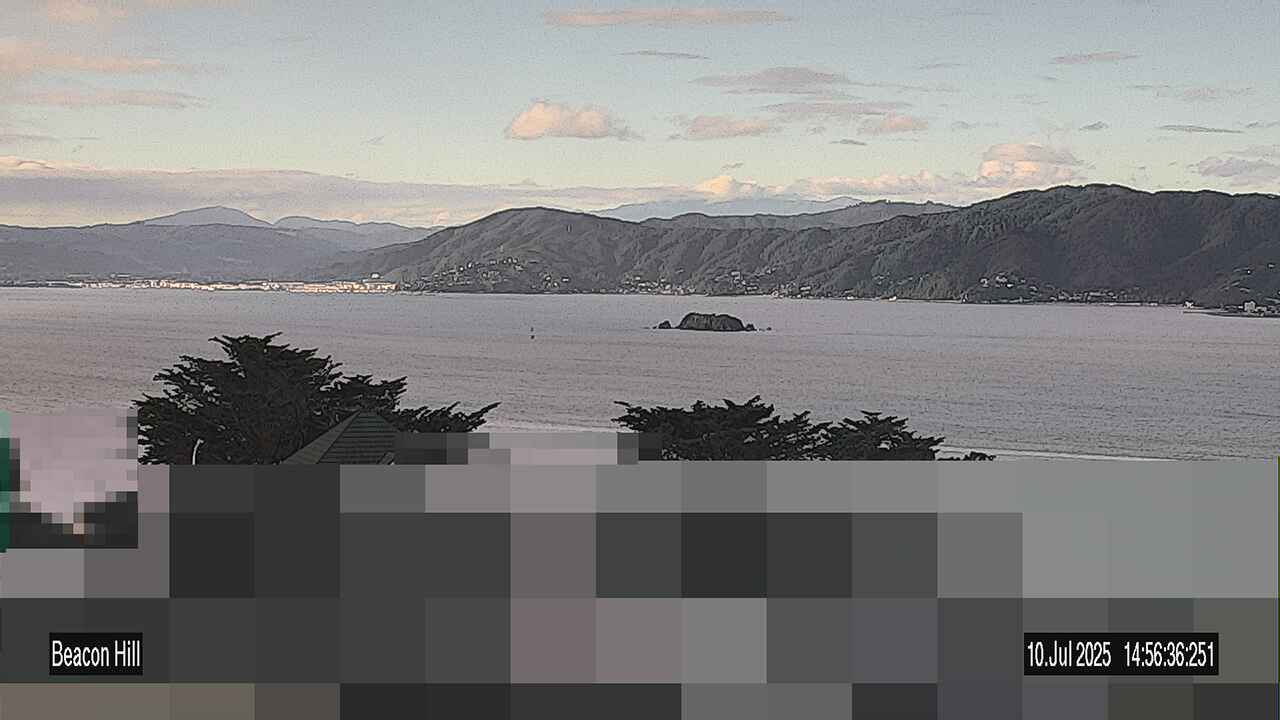
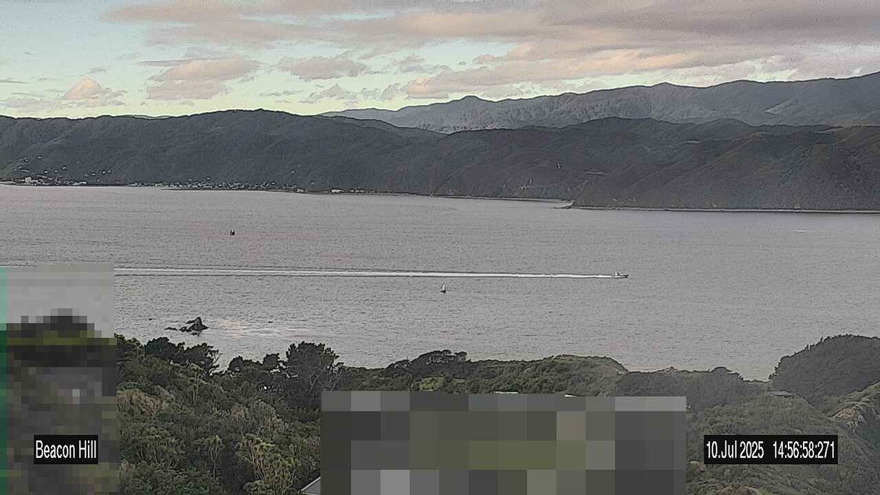
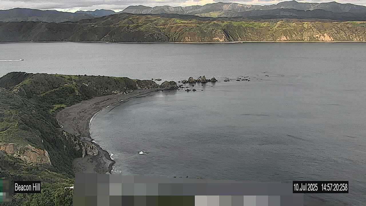
These images of Wellington Harbour entrance are taken from Beacon Hill Signal Station.
Please review the timestamp to ensure the images are current.
Get in touch
- Phone:
- 048304160
- Email:
- harbours@gw.govt.nz
