-
-
-
-
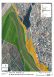
Appendix B: Application Area and Land Ownership
This document contains aerial maps of the areas within the resource consent application.
alarm Published 06 Dec 2016 -
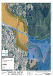
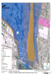
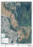
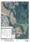
Appendix B: Application Area Maps
This document contains the aerial maps of the Wainuiomata River and areas included within the consent application.
alarm Published 06 Dec 2016 -
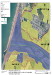
Appendix C: Land Ownership Maps
This document contains the aerial maps of land ownership within the area of the consent application.
alarm Published 06 Dec 2016 -
Appendix Ca: Land Ownership
This document contains the aerial maps of the area regarding GWRC asset and ecological information included in the consent application.
alarm Published 06 Dec 2016 -
Appendix B: Application Area and Land Ownership
This document contains aerial maps of the involved area within the application.
alarm Published 06 Dec 2016 -
Appendix B: Application Area and Land Ownership
This document contains the aerial maps and land ownership of the application area for WGN140054.
alarm Published 06 Dec 2016 -
warning
Moa Point sewage discharge: click for more information.
Moa Point sewage discharge
keyboard_arrow_right