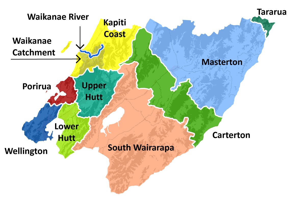
The Waikanae River flows from the western foothills of the Tararua Ranges about 50 kilometres north of Wellington.
The upper catchment covers 125 square kilometres of predominately regenerating native bush, mature forest and pasture.
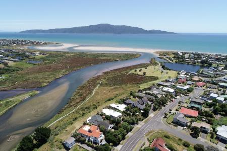
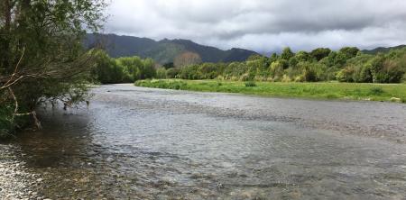
The Waikanae River meanders through a diverse landscape which has changed significantly over the years. On the upper plain near the ranges, the river's course cuts through alluvial gravels deposited by the river, before moving down through coastal sand dunes between Waikanae and Paraparaumu, to the sea.
The Waikanae River is one of the distinctive natural features of the area and is highly valued by the local community. However, as well as being a great asset, there are times when the river floods, causing considerable damage and cost to the community. A major flood in the Waikanae River could cause millions of dollars worth of damage to property and community assets.


Get in touch
- Phone:
- 0800496734
- Email:
- info@gw.govt.nz


