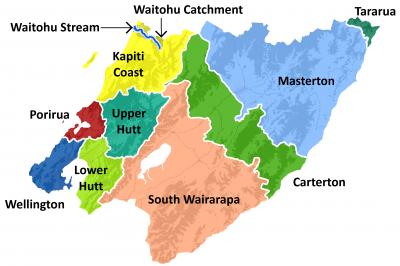
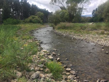
The Waitohu Stream flows from the Tararua foothills to the Tasman Sea, north of Ōtaki. The stream, with its catchment spread over 54 square kilometres, flows through native and exotic forests, pastoral farmlands, lakes, wetlands, urban areas and coastal estuary. It has two tributaries – Mangapouri and Ngatotora Streams.
We maintain the channel in the Waitohu Stream from the coast up to Ringawhati Road. Maintenance activities carried out by us include removing obstacles from the channel (such as trees), where we have physical access. Erosion repair is the responsibility of the landowner, although we are happy to provide advice on request.
Get in touch
- Phone:
- 0800496734
- Email:
- info@gw.govt.nz