Geographic information is physical, cultural, environmental and economic data about places and people. It provides vital insights into the health of our region and informs the work Greater Wellington does to improve it.
Here you can find our web mapping applications and the geographic information contained within them, as well as key external links to Land Information New Zealand and Retrolens.
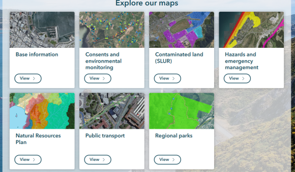
Public maps gallery
We share geographic information through our public web mapping applications. The maps gallery is a curated and regularly updated collection of interactive web maps that show the geographic information about our region. All maps are freely available to the public. The maps can be viewed and used in most modern web browsers.
You can find vital place-based information about:
-
Planning zones and resource consents,
-
Our public recreational tracks,
-
Our land, air and water monitoring programme,
-
Pest control operations,
-
Natural hazards such as flooding, earthquakes and tsunami, and climate change and sea level rise.
All maps are freely available to the public. The maps can be viewed and used in most modern web browsers.
Our open geographic data
The data in the public maps gallery is also available and free to use through our open data portal.
The open data site allows you to access digital data that is openly shared by Greater Wellington. The data is available to download or as web services for use in your own applications. It can also be explored through related web maps and graphs or looking through the online catalogue.
All data unless specifically stated is licensed under a Creative Commons Attribution 4.0 International License.
LINZ open data
Land Information New Zealand's (LINZ) data service offers open online access to a wide range of up-to-date land and seabed data. You can search, browse for, and download this data online.
Available datasets include:
-
Property and building outlines
-
Aerial imagery
-
Elevation data
-
Topographic maps
-
Hydrographic (seabed and waterway) data
Historical aerial imagery
Retrolens is your gateway to historical aerial imagery. This platform provides access to a vast collection of historical aerial photographs.
Council open data sites
The territorial authorities (city and district councils) in our region maintain their own open data sites. Visit your local council website for more information.
Questions and queries
For questions or feedback related to our web applications and geographic information, please contact the Greater Wellington GIS Team at gissupport@gw.govt.nz
Get in touch
- Phone:
- 0800 496 734
- Email:
- info@gw.govt.nz