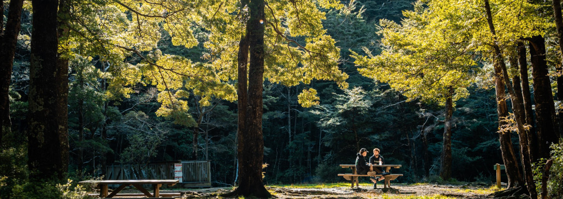
The Butterfly Creek Picnic Area in the Northern Forest, East Harbour Regional Park, faces an issue with its historic beech trees. Due to foot traffic over many years, root damage has occurred.
What’s happening?
A tree report by Wilding Wood Management identified that beech trees in the Butterfly Creek picnic area are under stress, likely caused by soil compaction from foot traffic. This compaction has led to low soil aeration, poor soil conditions, and limited water penetration. These factors have contributed to the death and decline of tree roots, making the trees more susceptible to fungi like Laetiporus portentosus and general dieback.
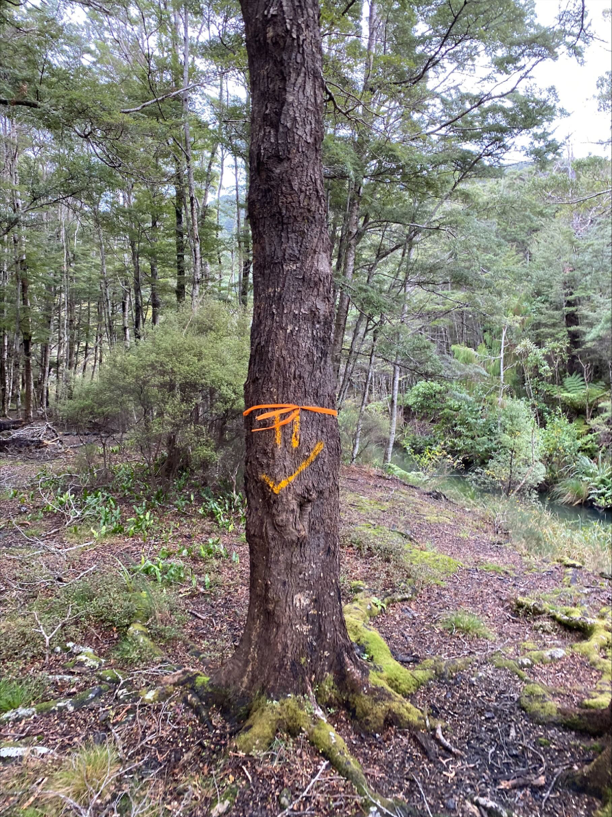
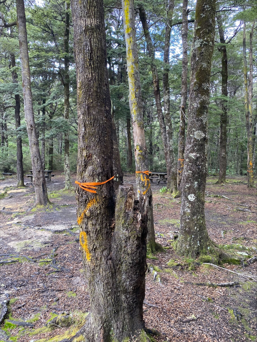
Over a century of sustained foot traffic has caused root damage, resulting in the death of 13 beech trees (one partially) near the picnic area. Eleven of these trees posed an immediate safety risk due to their proximity to picnic tables and the bridge.
What are we doing?
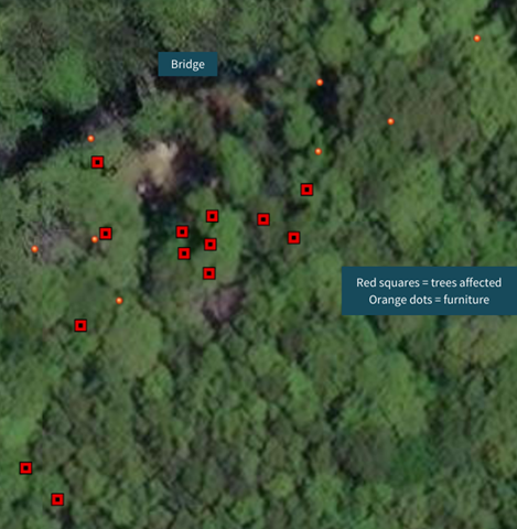 To prioritise public safety, we removed all dead trees at risk of falling from the picnic area. Most of these trees had already lost their canopies, so the visual impact caused by their removal is limited.
We also removed the dead upper section of one tree, which shows potential for recovery. Despite its exposed roots, it could demonstrate how we might best preserve the remaining trees.
The picnic area was temporarily closed during this work but has since reopened to the public.
We are planning the best course of action to protect the environment and the remaining trees while still allowing recreational use of the area. Potential actions include:
- Fencing to limit access to healthy trees away from public areas.
- Forming tracks to prevent further tree root damage.
- Planting natives to manage people movement.
- Educational signage.
- Relocating the picnic area.
Update 16/09/2024
After assessing the safety and health of trees at Butterfly Creek picnic area in 2023, we have undertaken an annual inspection to reassess the situation. The positive news is that the two trees evaluated for removal last year were reassessed and pruned instead. They are not exhibiting any further signs of decline and will therefore remain.
A small amount of further work is required to remove dead limbs and a further three dead standing trees at risk of falling.
A single standing tree at the junction between MacKenzie and Kowhai Street tracks will also be felled to reduce the risk to people using the map board or sitting on the bench.
We will be planting 12 new beach trees to help mitigate the tree removal work.
Track closures may be in place while tree work is carried out. Please check the East Harbour Regional Park notices for updates.
What can you do to help?
Greater Wellington's goal is to preserve Butterfly Creek, ensuring it remains a safe and ecologically vibrant destination for future generations. Here's how you can help:
- Stay within the picnic table area.
- Avoid stepping on live tree roots.
- Wilderness camp at least 500m from the picnic area.
Planning is underway to decide actions to best protect the area. If you have ideas or suggestions regarding the preservation of Butterfly Creek and its beech trees, please contact Ranger Jo Greenman via email: EastHarbour.Ranger@gw.govt.nz.
Get in touch
- Phone:
- 0800 496 734
- Email:
- info@gw.govt.nz